Friday, October 13, 2023 - I have done some "52 With A View" hikes recently, so it is time to tackle something from my "other list": the
Terrifying 25. The "Terrfiying 25" is a list of trails in New Hampshire that have what may seem to be some type of "dangerous activity" associated with them (rock slides, multiple ladders, etc). There are 20 "Required" Trails, plus you select 5-of-14 "Optional" trails.
On the map:
Yellow = "Required", have not climbed
Blue = "Optional", have not climbed
Green = "Have Climbed"
I have climbed 13 of them, and today is a trail just east of
Mount Washington:
From the Parking Lot on Route 16, I'll be going west on
Great Gulf Trail all the way to the summit of
Mount Washington.
I already summited
Mount Washington back on August 27, 2015 (
read that blog here), but from the west side:
That day I started the hike in lovely weather, but the top was howling wind, in a cloud. I'm hoping for something better today.
According to the AMC Guide Book "White Mountain Guide", the trail is 7.8 miles to the summit, gaining 5,000 feet in elevation, and (generally) takes 6 hours 25 minutes:
After
Spaulding Lake, the description reads: "The trail runs south and then southeast, with magnificent views of the gulf and surrounding mountains, rising 1,600 ft. in about 0.8 mi. over fragments of stone, many of which are loose. Extra caution is needed in an area where the trail crosses a rock slide caused by the 2011 storm, where the footing may be especially unstable. The way may be poorly marked because snow slides may sweep away cairns. The trail generally curves a little to the left until within a few yards of the top of the headwall; then, bearing slightly right, the trail emerges from the gulf and ends at Gulfside Trail near the Cog Railway. It is 0.4 mi. from here to the summit of Mt. Washington."
I guess we know why it is on the "Terrifying 25" list!!!!
I wasn't concerned about "how hard it was", or even "how long it had taken
other people"; my major concern is darkness:
So, wherever I was, just turn around about 3:30 - i can certainly get down a mountain in 2-and-1/2 hours.
I guess I got off to a late start, or maybe it was the traffic on 128. I was up at
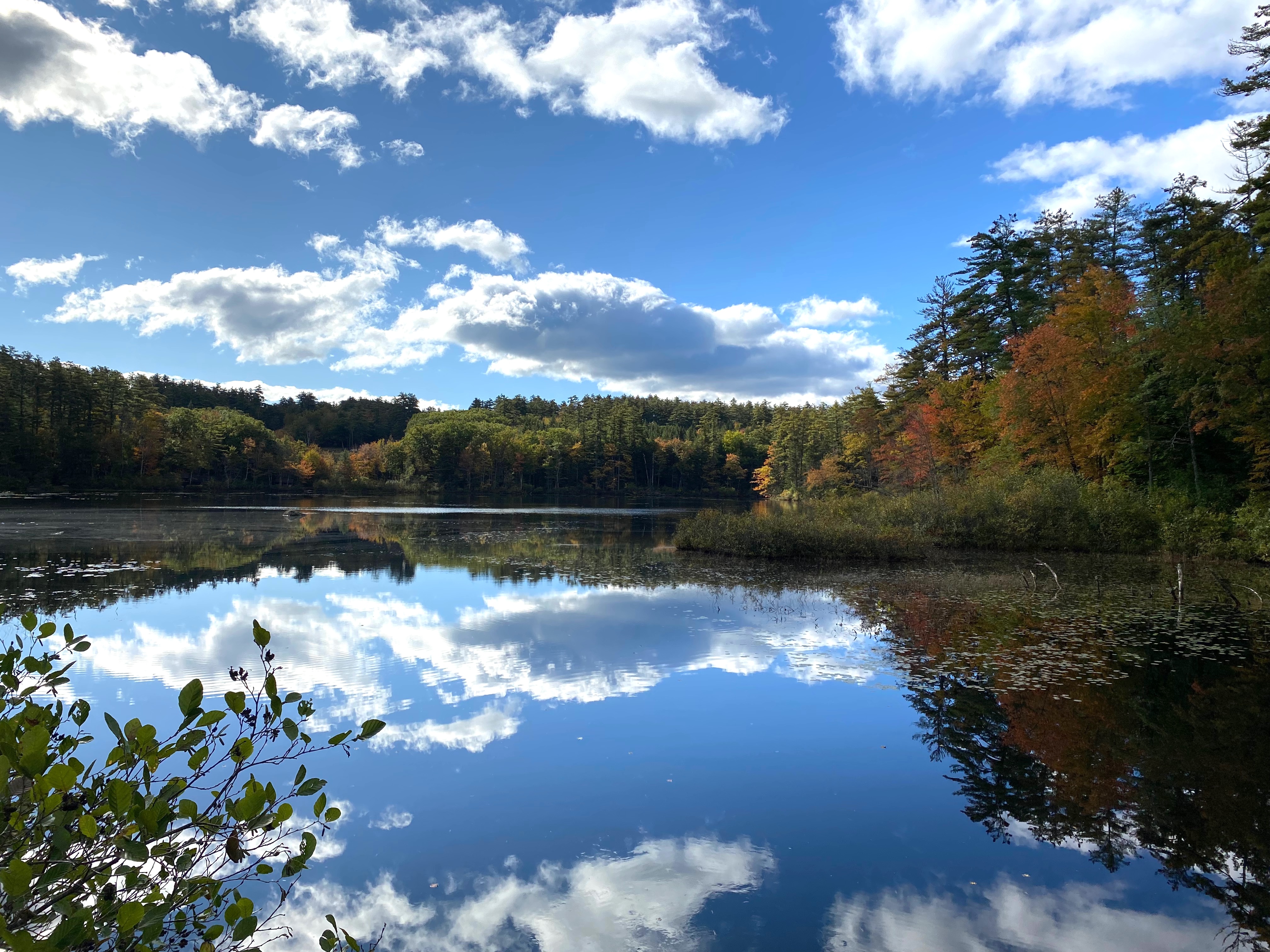
Chocorua Lake at 9:40. Looking South:
and looking North at
Mount Chocorua:
At the Parking Area at 10:45
and on The Trail at 10:55
Soon you cross over the
Peabody River, looking upstream and downstream:
The first 2 miles were fast - 20 minutes and 24 minutes respectively:
(NOTE FROM THE FUTURE: This was a lovely hike, and I got to take Wendy hiking along this part on Tuesday, October 24, 2023)
Back to my hike: After 2 miles, the trail gets considerably harder, crossing over and then going up alongside the "West Branch Peabody River":
There is moss EVERYWHERE, which makes hiking hard because you have to concentrate and determine EVERY STEP:
I eventually made it up to
Spaulding Lake at 2:08 - 6 miles into the hike, 3 hours 13 minutes after starting:
As you can tell, I'm UP IN THE MIDDLE OF A CLOUD! There is NO VISIBILITY HERE, which means there is NO VISIBILITY up ahead ("with magnificent views of the gulf and surrounding mountains"). I continued another 1/8th of a mile and turned around:
Oh, and it was raining too.
3 hours later I took a really cool picture crossing the
Peabody River, with the blue sky peaking through:
I did 12.25 miles in 6 hours 37 minutes, finishing basically 1/2 hour before sunset:
It all looks pretty cool in
Google Earth:
I changed the image-date for the last 2 screenshots (better terrain). The weather was so bad that I had NO IDEA that there was this MOUNTAIN JUST IN FRONT OF ME!
I will have to do this hike again next June, with a lot more daylight (and hopefully sunshine).
Dinner on the road, and home by 10. Thank You God for this wonderful ADVENTURE DAY!
For my listening pleasure today - all from a cd I burned 20 years ago, in wma format:
Buffalo Springfield -
Retrospective - The Best of Buffalo Springfield, 1969
This past Sunday I found out that Jimmy Buffett died (on Sept. 1), so the rest of the day are Jimmy Buffett albums:
A1A, 1974
Banana Wind, 1996
Changes in Latitudes, Changes in Attitudes, 1977
Don't Stop The Carnival, 1998
Far Side of the World, 2002
Fruitcakes, 1994
Havana Daydreamin', 1976
I saw Jimmy a few times over the years - the first at Avery Fisher Hall in NYC (with Carly Simon and James Taylor sitting just a few rows in front of me), down in Charlottesville, up at Great Woods (when Wendy lost a shoe out on the lawn - typical Buffett story). I missed the one in which he trucked sand into the Boston Garden for a concert in JANUARY. Thanks for Great Music, and Great Memories.
Shameless Plug: if you enjoy this blog, you may like my other one about visiting Art Museums and National Parks (and hiking in the Rockies)
hyperlink:
dixonheadingwest
http://dixonheadingwest.blogspot.com/