You have seen the maps, so today I'm going to do Mendon Peak:

After shower-shave-and shine, it was a nice 6 AM walk back across the field to my car:

Once again, my first triumph was 7:05 breakfast at "Up for Breakfast" in Manchester Center, Vermont:

Today I had an order of French Toast, with well-done bacon. Along with a couple of cups of coffee, I went marching out the door!!
A little after 9 AM I was looking at one of the maps at "Brewers Corner" parking area:

I think I have a pretty good handle on all the Mendon Peak hikes:

"Go through the gate at the south end of the parking lot, follow the road/trail south, make a left, go for a while, cross Eddy Brook, keep going east until you start going back-and-forth uphill, then bushwack approaching both peaks from the east. Don't be fooled by the East Peak - go to the canister on the West Peak. Going back down the same way.
Unfortunately, my track didn't go far enough - so I bushwacked around and finally called it quits:

Ok, so my first mistake was "taking a sharp left around the cottage to get on the Upper Road":


This is WAY TOO EARLY IN THE PROCESS TO BE BUSHWACKING!
I eventually made it onto the correct "Upper Road", but my 2nd mistake was taking "my first right" (that's what the blog said to do):

wrong "first right".
I went past an abandoned house:

before getting down to Eddy Brook:

I crossed the brook, but there was no path on the other side - just a lot of vertical forest. But I had a gut sense that there was a trail "up there", so I climbed up to it:

The "old road" had some beautiful daisies:

until it sort of ended while crossing another brook/stream. My 10:15 picture:
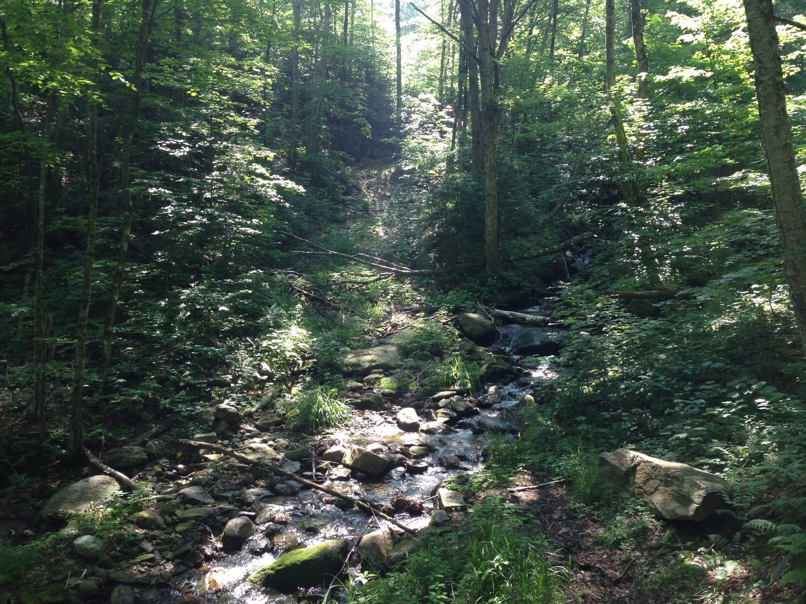
I went up alongside the stream, until I started cutting across the mountain (my 3-mile mark) - 11:03 picture:

I had the gut sense that I wasn't getting anywhere, so I turned downhill and made my way back down to the stream. The woods are pretty thick - 11:41 picture:

I finally (through a mishmash of old logging roads) got back down to Eddy Brook, and went for a swim!

It was the BEST part of the whole hike!
I crossed over the Brook:

and wound up going back down the correct "Upper Road"

I wound up slogging through 6.67 miles in 3 hours 19 minutes, but the heat (90s) made it feel much worse. So that counts as another disappointment. BUT - I think I have a good handle on what I need to do to make a successful summit of Mendon Peak, so "the next time" should be a lot better! I also have learned about a book/pamphlet Gene Daniels' "Routes To New England Hundred Highest Peaks", which I have ordered. Got HOME around 5 - Thank you God for these wonderful up-and-down adventures!!
Today's driving music was The Allman Brothers Band:
The Fillmore Concerts, 1971 concerts, 2 cds

Then back to their 1st album - The Allman Brothers Band, 1969

Then their 2nd album - Idlewild South, 1970

Then their (3rd studio) album - Eat a Peach, 1972 double album

and finished with one of their compilation albums - The Road Goes On Forever, 2001

which has a wonderful song on it - "Pegasus".
No comments:
Post a Comment