
Going from right-to-left, you see the granite ledge (White's Ledge), Mt. Stanton, Mt. Pickering and Mt. Langdon.
Mt. Stanton is 1716 feet, Mt. Pickering is 1930 feet, and Mt. Langdon is 2390 feet - all not very high, but I started at 650 feet (and ended at 740 feet)

Using Map My Walk, I went up Mt Stanton Trail Trail (1.4 miles) to Mt Stanton (stopping at White's Ledge), then 0.7 miles to Mt Pickering, then 2.4 miles to Mt Langdon, then 0.8 miles to Mt Langdon Shelter, the 0.4 to the Mt Langdon Trail. From there it was 2.5 miles down to where Wendy was picking me up in Bartlett. With twists and turns and overlooks, I covered 9.5 miles in 4 hours. I covered about 4,690 feet in climbing elevation (2390 ups, and 2300 downs) - it was a good workout:

Wendy seeing me off at the trailhead

The view from White's Ledge, showing the valley and Attitash (Bear Peak in the distance)


My selfies on top of Mount Stanton

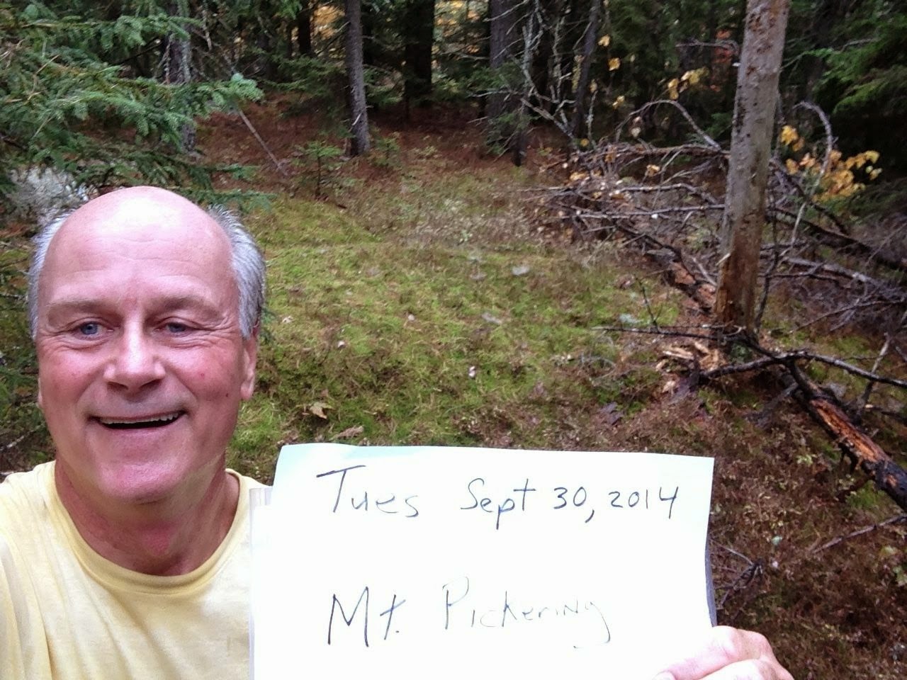
and Mount Pickering
another pretty view of Attitash

and a beautiful view out the north side of the ridge, looking north up the Rocky Branch/Jericho Road valley

my selfie on Mt Langdon

the Mt Langdon Shelter (the trail gets a little confusing around here)

the sun started coming out on my way back down

it was nice seeing the car when I hit the end at 1:27 (I had told Wendy 1:30, so my timing was PRETTY GOOD!!!)

Thank you God for a Great Day!
Tuesday, September 30, 2014
North Conway/Bartlett trailhead
9.5 miles -- hiking (4 hours)
3 hours -- to get home
We listened to the radio, Wendy read me sections of "The Boys In The Boat" (University of Washington rowing in the 1930's), and we listened to Ben Howard's "Every Kingdom".
No comments:
Post a Comment